Artifact
Madaba Mosaic Map
c. AD 560
The oldest known map of the Holy Land and an invaluable guide to the biblical geography of ancient Israel. It confirms the locations of biblical cities and reveals how 6th-century Christians understood the sacred landscape of Scripture. Archaeologists still use it today to identify ancient sites.
About this artifact
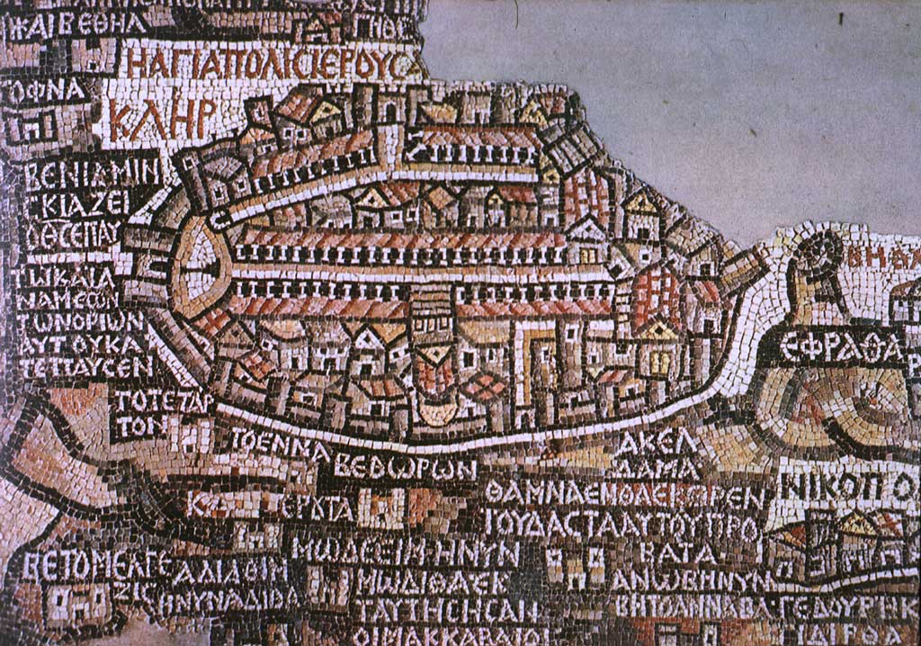
Discovered in 1884 during construction of a new Greek Orthodox church on the ruins of a Byzantine church in Madaba, Jordan. This 6th-century floor mosaic is the oldest surviving cartographic representation of the Holy Land, originally measuring approximately 51 by 20 feet. Though only about a third survives, it depicts the region from Lebanon to the Nile Delta with remarkable detail — showing Jerusalem with its colonnaded main street (the Cardo), the Dead Sea with boats, the Jordan River, Jericho, Bethlehem, and dozens of other biblical sites labeled in Greek. The Jerusalem vignette at the center is so detailed that archaeologists have used it to locate ancient streets and buildings.